


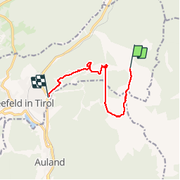


9.4 km | 14.1 km-effort

User


FREE GPS app for hiking
 SityTrail
IGN / Geographical institutes
SityTrail World
The world is yours!
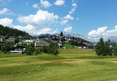
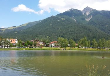
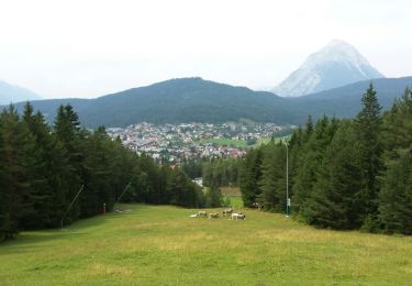
Trail Walking of 9.8 km to be discovered at Tyrol, Bezirk Innsbruck-Land, Gemeinde Seefeld in Tirol. This trail is proposed by VacheKiri67.
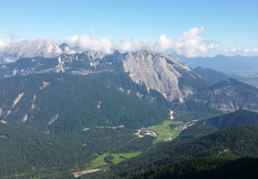
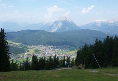
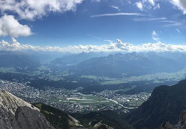
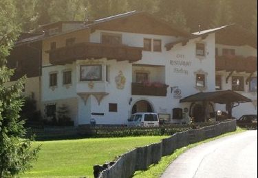
Faite le 22/07/2015 avec notre fils de 10 ans. Montée avec le funiculaire jusqu'à la Rosshütte puis le téléphérique jusqu'au Seefelder Joch. Randonnée sur la crête vers la Seefelder Spitze, le col au pied de la Reither Spitze et la Härmelekopf Bergstation. De là on reprends le téléphérique vers la Rösshutte. Puis retour à pied. Parcours déconseillé au personnes sujettes au vertige.


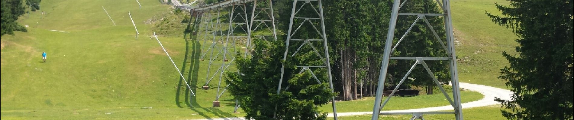
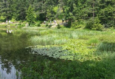
30 photos in total. Please click on a photo to see them all in the gallery.
Walking
Walking
Walking
Walking
On foot
Walking
Walking
Walking
Walking
Les crêtes de Seefeld.